Map

The map above will show our planned route of flight in magenta, as well as our actual route of flight in yellow. During flight, you'll see a blue plane showing our present position (updated every ~10 minutes), and green balloons will indicate where we've landed. You can also look at this map in Full Screen.

Thursday, August 26, 2010

A few underwater pics


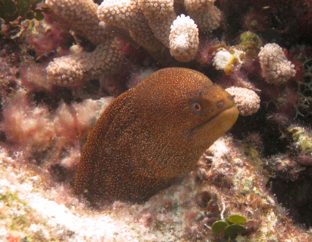
The diving in Grand Turk and the Bahamas has been great.  Here are a few photos I took on this trip.  They are, hopefully in order:

* A nice coral head
* Banded coral shrimp
* A conch (later to become conch fritters!)
* Honeycomb cowfish
* Flamingo Tongue shell on a fan coral
* Golden spotted moray eel


No comments:

Post a Comment